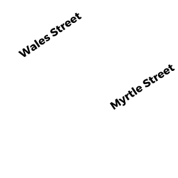
39 MYRTLE STREET
Owner Information
MEAD ALLISON I
39 MYRTLE STREET
TAUNTON, MA 02780


Property Details
39 MYRTLE STREET is classified as a Two-Family Residential (Two family).
The primary structure on this property was built in 1890. There are 4,609ft2 of built area within this property. There is 2,826ft2 of residential/living space within this property. This property is listed as having 10 rooms.
39 MYRTLE STREET is valued at $322,200. The land is valued at $96,000 and the structures are valued at $220,700. There is an additional valuation of $5,500 on this property.
This property is in Zone 3.31. Confirm with local Zoning Board authorities to ensure there are no overlays or other easements on this property.
The most recent deed for 39 MYRTLE STREET is recorded at the local registrar in Book 1492, Page 611.
Assessment data from fiscal year 2021.
Flood Data
According to the FEMA National Flood Hazard Layer, this property does not appear to be in a flood zone. It may also be in an area not yet reviewed. Nonetheless, confirm this information prior to taking any action.
To view the flood hazards around this property, create a FEMA "Firmette" Map of the area around 39 MYRTLE STREET.
Broadband Internet Providers
| Provider | Type | Bandwidth (mbps) | |
|---|---|---|---|
| Viasat Inc | Satellite | 100 | 3 |
| Verizon New England Inc. | DSL | 15 | 1 |
| Verizon New England Inc. | Fiber | 940 | 880 |
| VSAT Systems, LLC. | Satellite | 2 | 1 |
| HughesNet | Satellite | 25 | 3 |
| GCI Communication Corp. | Satellite | 0 | 0 |
| Comcast | Cable | 1000 | 35 |
Broadband service provider data from December 2020.
Adjacent Properties
- 6 VERNON STREET
APT 4-8 UT M94 owned by FORTUNA MANUEL R & MARIA M - 41 MYRTLE STREET
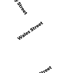
Single Family Residential owned by SALLEY RODGER A & BARBARA A - 72 WALES STREET
Three-Family Residential owned by BRAGA MARIA J LI - 68 WALES STREET
Two-Family Residential owned by ROIAS GILBERTO L & MARIA D TRS - 66 WALES STREET
Two-Family Residential owned by CHAVES ANGELA - 35 MYRTLE STREET
Three-Family Residential owned by ECKERSON NATHANIEL